
WHAT IS AUSTRALIA FOR? Australia is no longer small, remote or isolated. It’s time to ask What Is Australia For?, and to acknowledge the wealth of resources we have beyond mining. Currently The Conversation, in conjunction with Griffith REVIEW, is publishing a series of provocations. Our authors are asking the big questions to encourage a robust national discussion about a new Australian identity that reflects our national, regional and global roles.
Australia is on the move. Australia, this thinly populated bastion of the Atlantic-centered, English-speaking world, is drifting towards ever greater union with Asia. If you think this is yet another prognostication about the flow of socio-economic power from the Atlantic Ocean, and the resurgence of a world dominated by Indian and Pacific states, the truth is more literal. Our drift toward Asia is underpinned by something fundamental, a bedrock fact.
With each passing year, our continent drifts 70mm to the northeast towards the equator. This inexorable motion, which is happening at a velocity somewhere between the rate at which hair and fingernails grow, is driving us towards inevitable collision and amalgamation with the Asian continent. It seems as though the geological processes underfoot are conspiring with world events to bring us even closer to the centre.
So, if we could afford to wait a few tens of millions of years, we would see our future in a new continental array that we can call “Austrasia”.
If we want to know how we got here, we can think of the present moment as a snapshot of a long-running geological motion picture lasting some 4.5 billion years. If our movie lasts for two hours, then each “geominute” of our film will encompass 37.5m years, and each “geosecond” represents a little more than 300,000 years.
To put this into perspective, had you been been distracted from the last five geoseconds of the film, you would have missed the entire emergence of Homo sapiens from Africa. Getting up for two geominutes to get something from the refrigerator would mean you missed the impact of a 10km asteroid into the Yucatan peninsula (in present-day Mexico), wiping out the dinosaurs and ushering in the Age of Mammals.
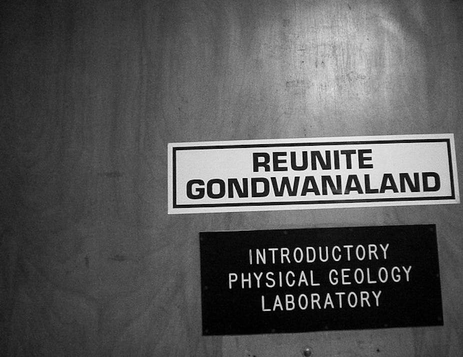
We should back up a few geominutes to get some perspective on where Australia has been, so that we see the changing position of our continent in both absolute terms, but also relative to other continents. From the standpoint of European colonists (arriving a ten-thousandth of a geosecond ago), the cultural and economic remoteness of Australia was imposed by geography (though physical geography is anthropomorphised geology with climate added in). This geological isolation of Australia was set into motion nearly 200m years ago. Before this time, Australia was more cosmopolitan, a citizen of the Gondwana supercontinent, that massive landbody occupying most of the Southern Hemisphere. The other member states – Africa, South America, India, Antarctica – were arranged in a fixed geometry that moved in unison, slowly drifting together for more than 300m years from the time of their first assembly.
During the Gondwana portion of Australia’s history, our flora and fauna were not improbable creatures surviving in nearly impossible conditions, the peculiar denizens of a dusty reliquary. At that time, Australia’s plants and animals were part of a broad family spread across the greater part of Gondwana. A classic example of a Gondwanan-type species are the marsupials, which, until recently, were the dominant mammals in South America. “Recently” in this case refers to the Pliocene epoch, 3-5m years ago (or 18 geoseconds ago in our film). That was when the closing of the isthmus of Panama allowed the invasion of North American placental mammals, decimating the ranks of South American endemic species in a story that is familiar to anyone in Australia. (Care to wager on the outcome of a race for survival between the bilby and the rabbit?)
Since the extinction of the native South American fauna happened before humans had colonised the Americas, and therefore in a guilt-free geological past, this tragedy is referred to in rather anodyne terms as the “The Great American Biotic Interchange”. Great for the migrants from the North, not so great for the South American species. With the exception of possums and armadillos, they were largely unable to penetrate the North American ecosystem from their geographic base in South America.
In a strange historical coincidence, the same man who laid the observational foundation for the biological invasion of South America, Alfred Russell Wallace, also defined the boundaries of Australian biogeography. A contemporary and colleague of Charles Darwin, Wallace spent many years in the Amazon basin, and then several more in the “East Indies”, more familiar to us as the region containing the modern countries of Indonesia and Malaysia. His observations of the distinct fauna populating different islands of the archipelago allowed him to draw a geographic boundary separating species of Asian affinities from those that derived from the Australian continent. This boundary is now known as the Wallace line, in his honour (scant honour indeed for the man whose findings finally goaded Darwin out of a 13-year reverie of barnacle studies into publishing On the Origin of Species).
Wallace was no stranger to the obscure; during his field studies in the East Indies, he collected about 80,000 specimens of beetle, but that was mostly for sale to collectors in order to finance his habit of making bad investments in British railroad concerns. Wallace is now best known as the father of biogeography, the study of changing patterns of species in different regions through time.
Digression aside, biogeography alone cannot answer our question about Australia’s past. After all, living organisms move around much faster than the continents. Our question about where Australia has been is really a question of paleogeography, the reconstruction of ancient continental configurations, a cartography of past worlds. If we want to know about the migration of Australia, we have to study the rocky bones of the continent itself.
One of the most important tools for our pursuit of paleogeography is paleomagnetism, the study of ancient magnetic directions preserved in rocks. Since the geometry of the Earth’s magnetic field varies with latitude, the fossilised record of past magnetic fields allows us to pinpoint the position and orientation of the continent in the past. This is possible because most rocks contain trace amounts of the minerals magnetite and hematite. Just like the needle in a magnetic compass points north, these minerals will become magnetically oriented by Earth’s magnetic field when they form, say, during the solidification and cooling of a hot, molten lava.
Using paleomagnetism as our compass, we can track the motion of Australia back continuously for at least the past 550m years (or roughly 15 minutes in our geofilm), but with increasing difficulty for time periods much older than that. These last 15 minutes of the geofilm begin with the period just after Gondwana had formed, with Australia at the easternmost portion of the great landmass. Given the near hemispheric girth of Gondwana, parts of the supercontinent could be located at very high, polar latitudes, while other regions could be located in balmy, tropical locations. So, it is helpful to concentrate only on Australia, which at this point 550m years ago, sat astride the equator, but rotated almost 90˚ clockwise from its present orientation. Slowly, the entire continent begins to rotate in a counterclockwise motion.
At one point, during the middle Devonian (370m years ago, or 10 minutes ago in our geofilm), the position of Australia was coincidentally almost identical to the modern position and orientation. So, the Canning Basin of northern Western Australia was the location for Devonian version of the Great Barrier Reef. Over the next 100m years, the position of Australia moved steadily south, towards more temperate zones, and finally to the edge of the Antarctic Circle by roughly 270m years ago (seven minutes ago, in our geofilm). Not surprisingly, the record of paleoclimate from this period of time alternates between dry glacial periods and moist, cool-temperate forests.
Finally, about 150m years ago, Australia begins to slowly move back towards the equator. Now something is different, for cracks are beginning to develop in the Gondwanan shield. These cracks were marked by large outpouring of basaltic lavas, such as the dolerite sills and dykes that form Tasmania’s Cradle Mountain. With time, these cracks would widen would widen into rift valleys, and rift valleys would become ocean basins. The splintering of Gondwana would give birth to the Indian, South Atlantic, and Southern Oceans - you can watch an animation of the splintering here. For Australia, our last break-up would be with Antarctica. The cracks that had begun to develop in the late Cretaceous were already developing into a narrow ocean by the late Paleocene, roughly 55m years ago, or a little more than a minute of our geofilm.
It is in the last minute of our geofilm that the modern contours of Australia emerge, the geographic isolation imposed by the separate path we are drifting along.
Australia is now heading steadily northwest, and every year brings us closer to becoming part of Asia. Already we can see the effects of this in Timor. Timor, which is the northernmost edge of the Australian continental plate, is crumpling from the tectonic strain brought about by the slow-motion collision with Indonesia. Antipodal only to the Atlantic, Australia will once again be part of a new supercontinent. Long live Austrasia!
Read more provocations at The Conversation and at Griffith REVIEW.