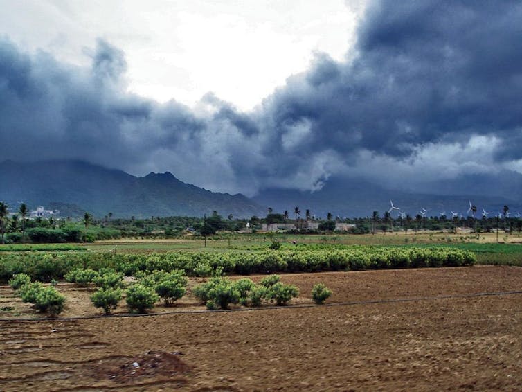
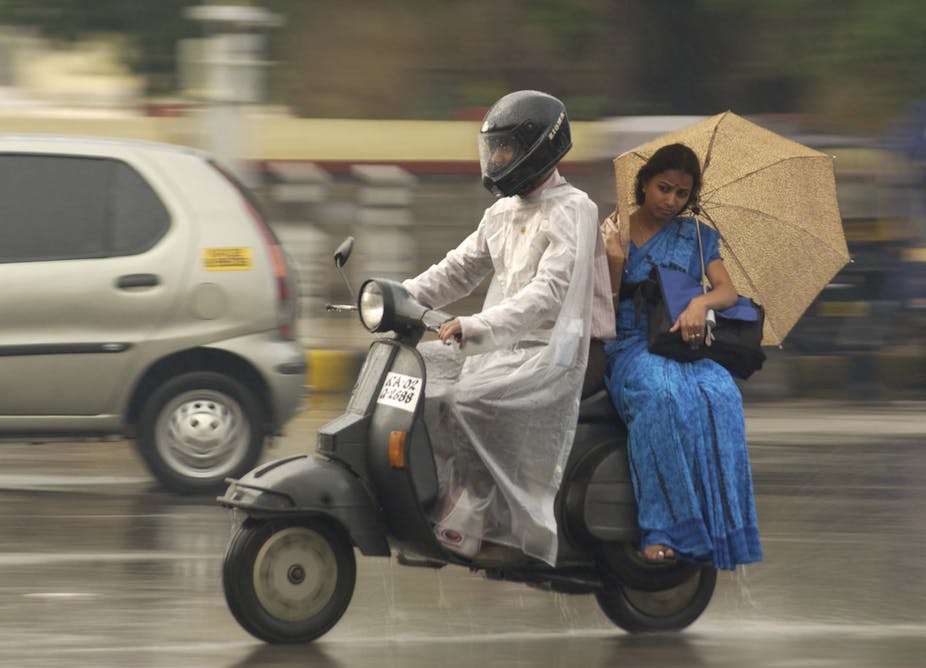
With each monsoon season India waits with bated breath for forecasts from the India Meteorological Department and other international forecasting agencies. This year’s forecast suggested a weakened monsoon, and sure enough for five weeks the monsoon has failed to provide the deluge that is expected.
For India, the monsoon rains typically last from June to September and contribute a whopping 80% of the annual rainfall total. Indian society is therefore finely tuned to the monsoon for its agriculture, industry and water supply for drinking and sanitation. If spread evenly over the whole country, the total rainfall during summer amounts to around 850mm. This year has seen a substantial deficit so far, currently standing at about 37% below normal and close to the large deficit in experienced in 2009, which was, like 2002 before it, a year of substantial drought, bringing reduced crop yields and hitting the country’s whole economy.
Now in mid-July, the forecast looks set to improve. The monsoons’ advance northwards across the country has been particularly slow, leading to lack of water for agriculture and prolonged heatwave conditions – in Delhi a week or so ago I experienced temperatures near 40°C due to the absence of rain. In some regions, farmers have had to plant alternative crops that require less water due to the lack of rain, and authorities have diverted irrigation to drinking water, exacerbating their problems.
Anatomy of the monsoon
The monsoons are the biggest manifestation of the effects of the annual seasonal cycle on the planet’s weather. During spring and summer, the difference between the rapid warming of the Earth’s surface and the slower warming of the nearby ocean generates a tropospheric temperature gradient – a strong gradient in air temperature from north to south of the equator, seen in South Asia most strongly over northern India and the Tibetan Plateau. This temperature gradient stretches far up into the atmosphere forming a difference in pressure, stretching from high pressure over the southern Indian Ocean to low pressure over India. The result of this pressure gradient is the seasonal winds we know as the monsoon, which carry moisture to supply the monsoon rains across Asia.

The onset of the monsoon rains typically comes at the beginning of June, with the weather front stretching from the southwest Indian state of Kerala across the ocean to cover the states in the far northeast of India. For Indian society, and especially farmers, knowing about any variation in the intensity and duration of the monsoon and when it will start is vital. The progression of the monsoon across the country normally takes around six weeks, reaching the border of India and Pakistan by around mid-July. In September, the monsoon withdraws in the opposite direction, and as a result northwest regions experience a much shorter monsoon season and consequently greater pressure on water resources.
Change is coming
So why has it been happening? While a full study won’t be carried out until after the season, it is likely that it relates to El Niño – a warming of the central-to-east Pacific Ocean along the equator that happens every few years, changing seasonal weather patterns in many parts of the world but particularly around Indian and Pacific Ocean regions.
For India, El Niño is generally associated with monsoon drought. The remote interaction with the monsoon (known as teleconnection) is caused by a disruption to the normal trade winds in the Pacific and Indian Oceans, known as the Walker Circulation after Sir Gilbert Walker, a British meteorologist in India who sought to predict when the monsoon would fail.
Rising air and enhanced rainfall meet over the warm ocean surface during El Niño, much further east than Indonesia as is usual. But what goes up must come down, and these shifts in the circulation lead to descending air over India, which reduces the strength of the monsoon. Research has also established that El Niño can delay the monsoon’s onset, shortening the duration of rains over India.
A major concern is that the monsoon will be changed by global warming. However, all the indications from our climate models are that the Indian monsoon will continue to supply the region with strong seasonal rainfall. In fact most suggest that greater concentrations of atmospheric carbon dioxide will bring more, rather than less, rain. So far, so good – but the monsoon’s rains are not a statistical average spread equally on each day and in each location. Model simulations also suggest that tropical rainfall will tend to be heavier when it occurs, with potentially longer dry periods between rain events. Both of these factors have important implications for water resources, including crop damage as well as increased flooding.
With El Niño conditions forecast to grow in the Pacific throughout the rest of 2014, the full impact on this summer’s monsoon will depend on if the forecast comes true and the location of where El Niño occurs. What we can’t yet say with any certainty is how El Niño’s link to and effect on the monsoon will change under warmer future climate conditions – we only know that greater extremes of variability are likely, and a more variable monsoon may be a problem.

