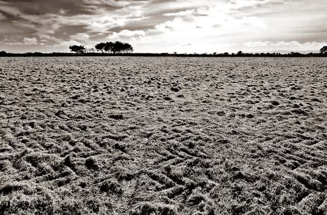


Have you ever taken the time to stop and consider the dirt under your feet? Leonardo da Vinci said: “We know more about the movement of celestial bodies than about the soil underfoot.” Yet, our very survival as humans - and life on this planet - is intimately linked with the health of a thin layer of soil enveloping the earth.
Soil provides society with essential food, feed, fibre and raw materials, as well as being home to a quarter of the earth’s biodiversity. Soils are also the largest organic carbon reservoir on Earth and although highly dynamic, are very fragile. Chop a forest down and it might grow back in 50 years, but lose 10 cm of soil and get ready to wait 1000 years to get it back. Without soil, our planet would be unrecognisable to us, and more like the barren and inhospitable surface of the Moon or Mars.
Until recently, we did not even know how deep the soil is below our feet. Like the best mysteries, a bit of digging is required for soils to be fully understood and for their history to be laid bare.
When they are visible, a range of questions arise. What does the variation in colour with depth mean? How much carbon is stored? Is the soil dense or light, damaged or healthy? Answering these questions is important, but presents a significant challenge and may require years of training.
Online soil resources
A group of researchers working on Open Soil Science data and technology met recently in the Netherlands to discuss current and future developments in citizen soil science. By developing electronic resources and making them freely available, we hope to share the secrets of the soil with a wider community and improve the distribution and availability of soil observations and our knowledge of soil properties across the globe. This will help us develop targeted strategies to conserve this fragile resource.

If you want to know more about the soil around you, the SoilGrids system provides open access to a diversity of soil properties and soil types. The online World Soil Information Service (WoSIS) and the Virtual World Soil Museum provide information about a diverse array of soil profiles worldwide, with high resolution images of soil profiles accompanied by detailed explanations of the individual soil horizons.
These portals (and there are many more) are a great starting point to get to know soil, so that farmers and land-users can understand the processes leading to soil development and how this affects soil health and ecosystem functioning such as carbon storage.
Apps for the ground
Different users may have different expectations for soil apps. Farmers and gardeners in the field are frequently interested in soil fertility, whereas teachers in the classroom may wish to explain soil diversity and soil function within the large natural variation in landscapes across the globe.
Regardless of user expectations, the use of smartphone apps and online resources can help people discover and understand various aspects and potential uses of soil, helping to highlight the beauty, diversity and importance of this underappreciated natural resource.
The mySoil app, developed by the British Geological Survey in 2012, is aimed at raising awareness of the diversity of soil properties across Europe and also has the capability to crowdsource photos and data on the soils around you. Designed for the non-expert, more than 50,000 people are exploring soils around them and have provided more than 4000 observations globally.
Soil Explorer designed by ISEE network from 2015-2017, shows how soils vary at different scales and why this matters. This app provides a framework of knowledge, in particular for users wishing to understand how soilscapes vary within the context of different landscapes and climates (why is the soil here red, but grey over there?, is my soil particularly wet compared with other soils?). For example, you can zoom into the areas recently flooded by Hurricane Harvey in Houston, Texas, and identify many of the flooded soils as “recent alluvium” (soil materials deposited by water), showing the strong link between soil properties and flooding. This can be used for decision-making, such as where to build houses when local area planning is inadequate or maps are not easily available. Maps of soil properties are based on the detailed soil survey data available in the US, with seven states online and more to be added soon.

In Scotland, Soil Organic Carbon Information Technology (SOCIT), developed by the James Hutton Institute in 2015 uses the user’s location and the colour of the soil to estimate the concentration of organic matter in the topsoil. This app (available for Android and Apple) should soon extend its range to the UK and Europe. Soil organic carbon is the single most important indicator of soil fertility, and soils contain more carbon than vegetation and the atmosphere combined so that soil carbon storage - and understanding how to protect it - is vital to the the health of the global ecosystem, and therefore everyone on earth.
LandPKS (Land Potential Knowledge System) aims to improve the information available to land managers when making decisions related to productivity and sustainability. It guides the user through open soil and climate data to provide free, easy to use, locally appropriate information to optimize land management decisions. It was developed in Kenya and Namibia and is being tested in Tanzania as well as the United States.
So what’s the point of all the data?
All this soil data begs the question: what is it good for? One immediate use for globally accessible soil data is to identify which crops can be grown where. CropBASE aims to do just that, by combining soil, climate and crowd-sourced data to answer the `what, where and when’ questions that we will need to ask for future agriculture.
These are just a handful of apps and portals available to delve into the treasures of soil. We hope that by highlighting the complexity and importance of soils with modern technology we can raise awareness about the importance of healthy soils across the globe. This will help to reveal the rich diversity of soils between places and impart some basic knowledge for assessing soil properties.
Thanks to modern technology, unlocking the vital secrets of soils is becoming easier.
Skye Wills, soil scientist and researcher with the National Soil Survey, US department of agriculture, has contributed to this article.