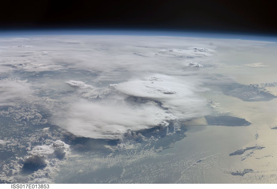
For a long time climate models have predicted that wet and warm areas in the tropics are going to get wetter, especially over the oceans. Observations of the recent past are beginning to support this hypothesis. What we didn’t know is how this change might occur.
In research published today in Nature, our research team shows that the answer could be thunderstorms, specifically those that are gregarious and clump together, a behaviour referred to as “organisation” of convective storms.
Warm and wet gets wetter
In its Fifth Assessment Report the Intergovernmental Panel on Climate Change (IPCC) states that it is virtually certain that rainfall will increase as temperatures increase and that short periods of intense rainfall over the tropics will become more frequent and intense.
Rainfall in the tropics is driven by convection: the rapid upward movement of air over small areas, usually expressing itself in thunderstorm clouds. Warm, moist air rises and as it expands on its way up it cools and condenses to form clouds, and ultimately rain.
In weather and climate jargon we distinguish between “deep” and “shallow” convection. Deep convective clouds reach to 10-20 kilometres height (typically 12-13 kilometres), and it is those clouds that produce much of the rain-bearing systems of the tropics.
Clumpy storms

So let’s look at deep convection, the one that makes the rain. Previous research has shown that there are essentially two types of these storm systems, both made up of several individual thunderstorm cells, each just a few kilometres wide.
In one observed scenario, the individual cells are isolated and relatively widely spaced, resulting in short sharp bursts of rainfall, thunder and lightning. Seen from above a field of thunderstorms looks much like popcorn, given this “disorganised” form of convection the nickname “popcorn convection”.
A second type of convective systems is characterised by a clumping together of individual cells over areas of a 100 kilometres or larger with some growing up to 1000 kilometres or more. This “organised” convection often forms lines, arcs or blobs. Because the storm systems are so big they change the air-flow around them and that’s what makes them such efficient rainfall producers.
In previous research we’ve developed a way of identifying whether convective systems are strongly clumped together or not by using their cloud signatures as seen from space.
We’ve also found previously that the ones that organise produce more precipitation than the ones that don’t. In fact we’ve found that organised systems only occur 5% of the time in the tropics over 25 years, but produce 50% of the rain.
How does convection contribute to the rainfall changes?
The Nature study combines these earlier findings with space-based observations of rainfall to identify the role of the different types of convection in observed increases of rainfall by posing questions such as:
Do organised and disorganised convection contribute equally to rainfall increases?
Are there more storms with the same amount of rain or are the storms getting more intense?
We used a 12-year record of daily rainfall observations derived from satellites over the tropics and combined it with our record on convection type. What we found is that the increase in rainfall observed over the tropical oceans is largely happening because of an increase in the occurrence of organised storms, rather than an increase in their intensity.
This was a somewhat surprising finding, and it doesn’t confirm the simple hypothesis that the increased water vapour content in a warmer atmosphere automatically implies an increase in rainfall intensity. As is often the case, nature follows a more complex path, in this case by increasing the number of heavily precipitating storms. Our next task is to find out why!

