

Earth’s ocean is incredibly vast. Some parts of it are so remote that the nearest human habitation is the International Space Station.
As the world warms, what happens in the ocean – and what happens to the ocean – will be vital to all our lives. But to monitor what’s happening in remote waters, we need to study the ocean from space.
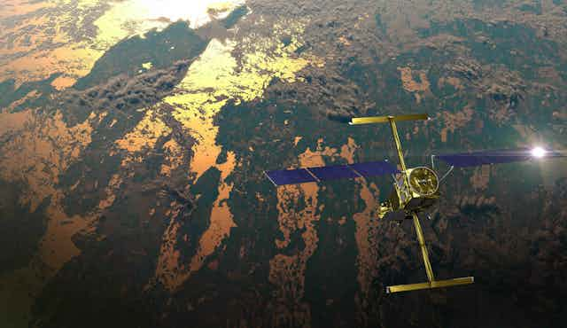
Late last year, NASA and CNES, the French space agency, launched a satellite that promises to give scientists a far better view than ever before of the ocean’s surface. The Surface Water and Ocean Topography (SWOT) mission will reveal ocean currents that play a crucial role in the weather and climate.
To make the most of the satellite observations, we need to compare them with measurements made at surface level. That is why we are heading out to sea on the state-of-the-art CSIRO research vessel RV Investigator to gather essential ocean data under the satellite’s path as it orbits Earth.
Current affairs
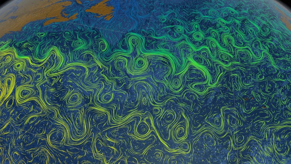
Climate change is disrupting the global network of currents that connect the oceans. Researchers have detected a slowdown of the deep “overturning circulation” that carries carbon, heat, oxygen and nutrients from Antarctica around the globe. Meanwhile, at the surface, ocean currents are becoming more energetic.
We have also seen dramatic changes in fast, narrow rivers of seawater called western boundary currents, such as the Gulf Stream and the East Australian Current.
Read more: Shifting ocean currents are pushing more and more heat into the Southern Hemisphere’s cooler waters
These currents funnel heat from the tropics towards the poles, and in recent decades they have become hotspots for ocean warming. In the Southern Hemisphere, they are warming two to three times faster than the global average.
As these currents destabilise, they alter how heat is distributed throughout the ocean. This in turn will cause major changes in local weather and marine ecosystems that may impact the lives of millions of people.
Playground physics
The SWOT satellite mission will give researchers a powerful new tool to monitor changes in ocean currents by using accurate satellite measurements of the sea surface – plus a little bit of playground physics.
The satellite carries an instrument that will map variations in the height of the sea surface in unprecedented detail. These variations might be less than a metre in height over horizontal distances of hundreds of kilometres. But oceanographers can use the measurements to estimate ocean currents flowing underneath.
Small variations in the height of the sea surface create horizontal pressure differences that try to push water away from areas of high sea level and towards areas of low sea level. That pressure difference is balanced by the Coriolis force, which gently deflects ocean currents to the right in the Northern Hemisphere and to the left in the Southern Hemisphere.
You can experience the Coriolis force at the playground. Step onto a merry-go-round and ask a friend to stand on the opposite side from you. As you start spinning, toss a ball to your friend. You will notice that the ball appears to be deflected away from the direction of rotation.
In reality, the ball has moved in a straight line; your friend has simply moved away from where you were aiming. But, to you both, the ball seems to have been deflected by an invisible “pseudo-force” – the Coriolis force.
Now imagine the merry-go-round is Earth, and the ball is an ocean current. The Coriolis deflection is enough to balance pressure differences across hundreds of kilometres and causes seawater to flow in ocean currents.
Science at sea
By carefully measuring the height of the sea surface and using our knowledge of the Coriolis force, oceanographers will be able to use data from NASA’s satellite to reveal ocean currents in greater detail than ever before. But to make sense of that data, researchers need to compare satellite measurements with observations made down here on Earth.
That’s why we are leading a voyage of more than 60 scientists, support staff and crew aboard the RV Investigator, Australia’s national flagship for blue water ocean research.
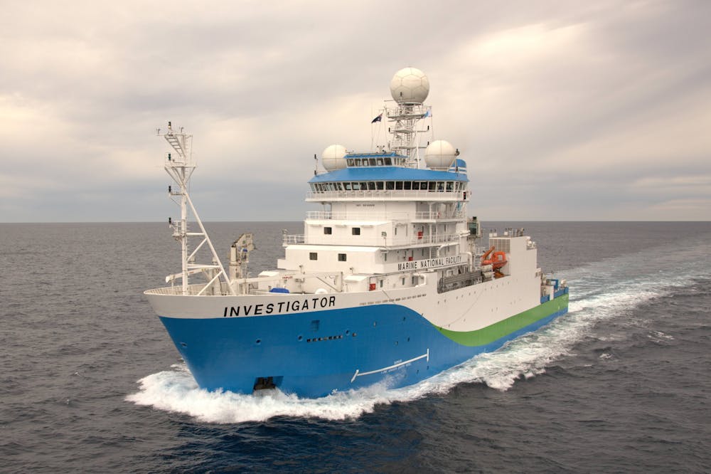
Our 24-day voyage will study ocean dynamics off Australia’s southeast coast using the Investigator’s world-class scientific equipment, including satellite-tracked floating buoys and drifters that will be used to measure the real-time movement of currents at the ocean surface.
Read more: Explainer: the RV Investigator’s role in marine science
The voyage is part of a huge collaboration by scientists around the world to gather observational data under the satellite’s path as it orbits Earth. This data will help validate satellite measurements and improve weather forecasts, including those from Australia’s Bureau of Meteorology, and assist with climate risk assessment and prediction.
We hope to better understand how our oceans are changing using what we observe in space, at sea — and in the playground.
This research is supported by a grant of sea time on RV Investigator from the CSIRO Marine National Facility.
You can follow our voyage on Twitter/X using the hashtag #RVInvestigator.