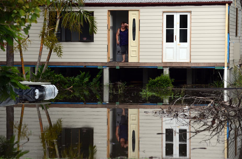
Parts of Queensland and New South Wales have big floods again with people being evacuated, properties flooded and tragically some fatalities. We have heard reports of hundreds of millimetres of rainfall in single days from places like Gladstone and Bundaberg. So are these floods unprecedented or should we expect floods of this size and be able to deal with them?
This is a complicated question. In some places a lot of rain has fallen, even by Queensland standards. In others there really hasn’t been that much.
At Gladstone the 1-in-100-year three-day rainfall event is 720mm and the total observed for the three days up to 9am on January 27 was 660mm, with 820mm over four days. While a more thorough analysis is required to say definitively whether Gladstone exceeded its 1-in-100-year rainfall total, parts of the Burnett River catchment definitely did and the very heavy rain was widespread over the catchment.
The result has been a record flood at Bundaberg, which has very long records that start in the 1860s. The previous record flood of just over 9m occurred in 1875. So yes, the Bundaberg flood - at around 9.5m - is big and the challenges in responding to it are not surprising given its size.
The concerns about Brisbane flooding appear not to have been realised, with few buildings with water above floor level. While heavy rain did fall in some parts of the catchment, it was not widespread across the catchment and it also tended to fall more in the north, where Wivenhoe Dam provides significant flood protection. Nevertheless there are reports of some waterfront properties being flooded.
The summer had been very dry in southern Queensland up until last week and it is possible that this reduced the flood flows somewhat. At the same time it probably means the catchments were vulnerable to erosion due to low vegetation cover. This has caused problems for Brisbane’s water supply and is likely to have resulted in significant amounts of sediment and associated nutrients entering coastal waters.
The last major flood in Bundaberg was 7.92m in 2010, which flooded hundreds of homes and businesses. There have been seven similar or bigger floods in the last 130 years. Better planning in the past could have avoided the associated flood damage costs. Now there is a legacy problem that needs to be dealt with - communities and businesses already exist in areas that will be flooded again and again.
The Queensland Flood Commission of Inquiry made 177 recommendations, more than half of which relate to flood risk assessment, planning and/or information provision. If they are implemented people will be much better informed about their flood risk.
To this end the Queensland Reconstruction Commission has developed an interactive “flood check” web site. Creating this service is a good start, but at present it does not provide any direct flood risk information.
Rather it lists the local government responsible for the location and previous flood studies for the area. It provides some mapping of past flooding, but it isn’t tied to any particular quantitative risk information. It also lists a plethora of vaguely relevant GIS data, much of which is for places other than the point of interest.
To be useful to the general public, this site needs to develop further so it presents concrete information in a simple manner. The information should be probabilistic but straightforward to understand. The more of this information the public has, the more it will influence behaviours ranging from property purchase decisions to motivating flood preparedness.
Other approaches to addressing legacy problems such as buy-back schemes for frequently flooded properties are also worthy and are being considered in both Queensland and Victoria.
Another planning issue relates to where we locate essential services and how we design other essential services such as sewerage infrastructure. The evacuation of Bundaberg Hospital underlines the importance of this - we need to put essential services where they will be as safe as possible from flooding.
Finally we need to start to plan for climate change impacts on flooding. This is challenging because climate change impacts are uncertain at present, although we do know that warmer air can hold more water vapour and more water vapour can lead to greater rainfall amounts - a key reason why northern Australia experiences larger rainfall events than the southern states.
Flooding is the most costly cause of natural disaster in Australia and we need to keep working to try to reduce its impacts. It is difficult and expensive to control where flood water goes, but good planning can help make reduce costs and improve community safety.

