
If you woke up this morning and thought “Gosh, it’s a bit brisk!”, you’re not alone.
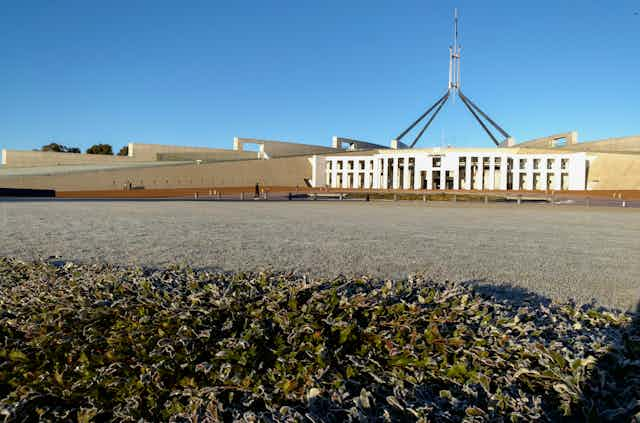
Temperatures plummeted across southeast Australia this week, with Weatherzone reporting Canberra’s low of -7.2ºC was “its lowest temperature since 2018 and the lowest for June since 1986.”
Sydney experienced its coldest June morning today since 2010, with a temperature of 5.2ºC. In Victoria, temperatures of -7.2ºC were recorded.
So what’s going on? Here’s what you need to know.
Read more: 'Flash droughts' can dry out soil in weeks. New research shows what they look like in Australia
A big pool of Antarctic air
It started off at the beginning of the week, when a low-pressure system saw a big cold front come through southeastern Australia on Sunday night. This basically means a lot of very cold air came from higher latitudes close to Antarctica, and swept across southeastern Australia.
So everywhere from Melbourne to Sydney to South Australia was getting this big pool of incredibly cold air at the start of the week.
Even though that cold front has now moved off over the Tasman Sea, it has left behind it a really big high-pressure system sitting over the southeast of Australia.
This has led to calm conditions, where winds are very light and the skies are clear with not a lot of cloud during the day or night.
So it’s getting really, really cold in the early mornings because there are no clouds to act as an insulating blanket for the Earth and trap the heat that the planet radiates to space overnight.
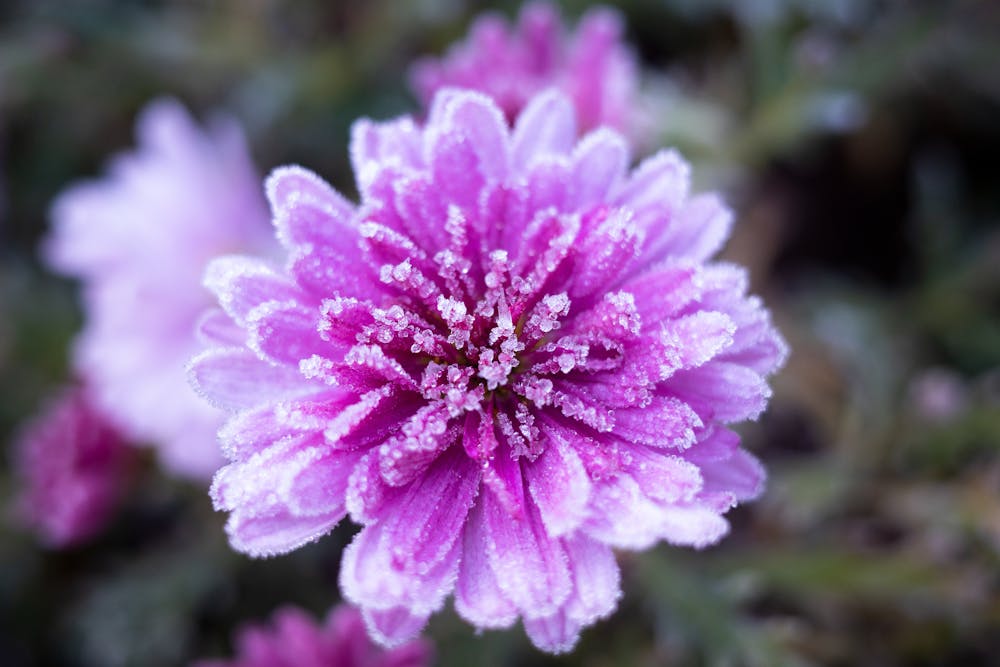
The result, in many places, has been very cold temperatures before sunrise, often with a lot of frost.
Remind me, what’s a low-pressure system? And what’s a high-pressure system?
The air above the Earth’s surface has mass, but it’s not uniform everywhere. The way the atmosphere is moved around by what’s going on at upper levels will mean the mass of the atmosphere is redistributed. That transmits down to the surface where we live and causes low- and high-pressure systems.
At some points the pressure is lower because there’s not as much mass of air above that point over the Earth. This is what we call a low-pressure system. Air rises in a low, reducing the pressure at the surface.
The winds around the low are clockwise in the Southern Hemisphere. So when that low is approaching Australia, the winds on the western side are bringing air from near Antarctica. That’s why a low-pressure system in Australia often means cooler conditions.
At some points above the Earth, the pressure is higher because the mass of air above that area is greater. This is what we call a high-pressure system. Air descends in a high, raising the surface pressure.
High-pressure systems tend to mean very calm weather; the wind isn’t very strong, the skies tend to be clear and there’s little to no cloud.
In summer, that means the sun is baking down all day onto Earth with no protection from cloud. So a high-pressure system in summer can mean a heatwave.
In winter, the lack of cloud in a high-pressure system means that much of the heat the Earth has absorbed during the day just re-radiates out to space again, as the cloud isn’t there to act as a blanket and keep all that heat in.
That’s why a high-pressure system can mean very cold weather in winter, especially when there are lower levels of sunlight coming in to warm up the Earth in the first place.
Read more: 4 ways to understand why Australia is so cold right now despite global warming