
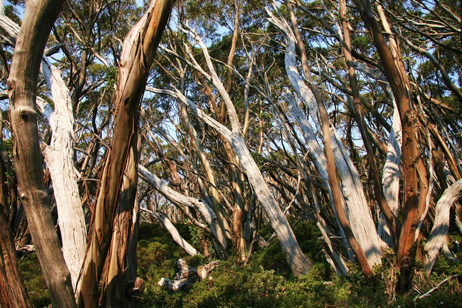
Forests spark emotional debates in Australia. Much of the rhetoric is about saving “the last of Tasmania’s wild forests” or how we must “stop logging in Australian native forests”.
Australian forests, however, are highly diverse with a range of different drivers of forest loss and dynamics in different parts of the country. Understanding what is happening to forests in Australia and where they are being lost or gained is important for biodiversity conservation, carbon accounting and many other aspects of sustainable forest management.
Defining forest
In order to manage forests we first need to define them. The origins of the word had little to do with trees. It defined land retained by French royalty for game management and hunting. Trees provided the best habitat for deer, boar or other animals. The original foresters mentioned in the Magna Carta were primarily game and habitat managers.
These days forests are generally used to describe land dominated by trees and functioning as an ecosystem of interconnected plants, animals and micro-organisms. Most definitions used around the world now have three characteristics: a minimum tree crown cover, minimum height and a minimum area.
The UN Food and Agriculture Organisation (FAO) undertakes a Global Forest Resource Assessment every five years. The definition used for this assessment requires at least 10% of the forest floor to be covered by the canopy (also known as crown) of trees, a minimum height of 5 metres and a minimum area of 0.5 hectares.
Australia’s official definition of forest has changed over the years . For national reporting, such as the five yearly State of the Forests Report, we define forests as having a minimum crown cover of 20% and minimum height of two metres.
The 20% tree crown cover threshold is used because much of our forest is in remote areas and we need to use satellite-based sensors to determine forest cover. Below this level it is often difficult to detect whether the vegetation is trees or shorter shrubs or grasses in the satellite image. The shorter height includes mallee forms of eucalypt that sometimes only have a maximum height of two to three metres on some sites.
Another key difference between the FAO definition and our national definition relates to land use. FAO specify that land should not be under agricultural or urban use. Australia does not apply any specific use component, although urban forests have generally not been included in our statistics, even though many suburban areas would satisfy the minimum tree cover threshold.
What is the current area of forest?
The total forest area in Australia in the last national assessment (State of the Forests Report, 2008) was 149 million hectares (including 2 million hectares of forest plantations), or about 19% of the land area. The 147 million hectares of native forests are highly diverse with nearly 80% dominated by eucalypts and most of the remainder by Acacia, Callitris, Casuarina and Melaleuca species.
Two per cent of the forest area is classified as rainforest, which occurs in tropical, subtropical and temperate regions. Of the eucalypt forests, over two-thirds have relatively low canopy cover (20-50%) and are ecologically described as woodlands where the main economic use is grazing.

Changing estimates of forest cover
Given the remoteness of much of our forests, establishing the area of forest has been challenging. Estimates of forest cover have varied over the years. Under the Australian constitution, land and forests are under the control of state governments, and each state has had different ways of describing and assessing forests. There has often been little motivation for undertaking forest assessment in remote parts of northern, central or Western Australia. The National Forest Inventory provided a basis for integrating these different state approaches and has funded improved mapping in many areas. The need to enforce land clearing regulations in Queensland led to improved assessment of forest cover and cover change there.
More recently, there has been major investment in the National Carbon Accounting System for assessing greenhouse gas emissions from land clearing and uptake in regrowth and forest expansion; this included national remote sensing of forest cover change. Using the same definition as the NFI, this system estimated a level of “woody vegetation cover” that was considerably lower than the state-based estimates (108 million compared to 149 million hectares). The differences are not easily explained. Open, drier forests of eucalypts, Acacia and Melaleuca across northern Australia were not mapped as forest in the NCAS, but large areas in southern Western Australia and southern Queensland not mapped as forest in the NFI were included (see 2008 State of the Forests Report, page 14).
Drivers of forest cover change
Forest cover can be lost or reduced as a result of human actions (clearance for agriculture, settlements and infrastructure) or natural events, such as large scale drought death and/or repeated severe wildfires where species lack the capacity to resprout and there is insufficient seed for natural regeneration. There has been significant human-induced loss of forest in Australia since European settlement. There have also been changes in species composition, for example due to the removal of indigenous people and changes to burning patterns.
Forests are dynamic and can also expand naturally given the right conditions, when pressures on forest regeneration (such as cropping, grazing or repeated fire) are relaxed. Forests can also be regenerated artificially through planting and seeding, either for wood production or environmental plantings.
It has been estimated that in 1788, forests (according to the current definition) covered about 30% of the country. This suggests we have lost about one third of the forest area (84 million hectares) since European settlement. There has also been a significant reduction in dense forest as trees have been felled to thin the landscape into woodlands to provide increased grazing capacity.

Recent estimates from the NCAS (Google the National Inventory Report 2007 volume 2 to find a downloadable PDF) indicate that 350,000 hectares per year of forest were deliberately cleared and converted to cropland and grazing land in the 10 years to 2006. This compared with about 430,000 hectares per year in the early 1990s. Most of this clearing is happening in lower density eucalypt woodland forests in northern Australia.
The latest national State of the Environment Report indicated that annual forest loss over the decade to 2010 averaged 1.1 million hectares (also based on NCAS figures). This suggests that about 750,000 hectares of forest were lost due to natural processes during this period, much of it due to the extensive drought during the 2000s.
This was offset by an annual expansion of the forest area of about 1 million hectares, leading to a small net gain of forest in Australia in 2007-10. This was mostly recovery after previous clearing.
There has been significant afforestation for commercial timber production, with about 60,000 hectares per year established primarily on cleared land since 2000. One million hectares of new plantation has been added since 1990, doubling the total area. The planting rate has declined considerably in the last few years with the demise of Managed Investment Schemes following the global financial crisis.
Forests used extensively for timber production include taller forests in wetter regions near the coast and some inland areas with valuable timber species such as red gum and cypress pine. Harvesting on public land is now restricted to 9.4 million hectares, or about 25% of the areas potentially suitable for timber production. Regional Forest Agreements and other state and federal policies have resulted in a large increase in the area of forest in conservation reserves.
Harvesting now largely occurs in areas that have previously been cut over. Native forests are managed under codes of practice and legal regulations that vary from state to state. Harvested areas are regenerated with native species and there is no loss of forest but there can be changes in forest structure or understorey species composition.
Australia has the sixth largest area of forest of any country in the world. However, even with recent improvements in forest cover mapping and remote sensing technologies, there is still considerable uncertainty about the total forest area in Australia. The estimates of change in forest cover indicate that Australian forests are highly dynamic, responding to cycles of human-induced clearing and regrowth and to drought, fire and flooding rains.
There is a need for continued investment in forest assessment to improve our understanding of these dynamics and the way they influence different forest values and services.