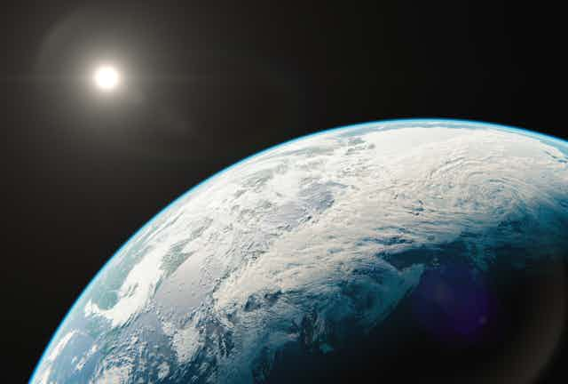

A “sudden stratospheric warming” event took place in early January 2021, according to the Met Office, the UK’s national weather service. These events are some of the most extreme of atmospheric phenomena, and I study them as part of my academic research. The stratosphere is the layer of the atmosphere from around 10km to 50km above the Earth’s surface, and sudden warming up there can lead to very cold weather over Europe and Siberia, with an increased possibility of snow storms.
In winter the polar regions are in darkness 24 hours a day, and so the stratosphere over the north pole drops to -60°C or even lower. The pole is surrounded by strong westerly winds, forming what is known as the polar vortex, a normal occurrence which develops every winter. However, about six times a decade, this vortex can break down in dramatic fashion. This can lead to temperatures over the pole increasing by up to 50°C over a few days, although temperatures are so low that they still remain below freezing. The average wind direction around the pole may also reverse, in which case a “sudden stratospheric warming” event has occurred.
The disturbance in the stratosphere can then be transmitted downward through the atmosphere. If this disturbance reaches the lower levels of the atmosphere it can affect the jet stream, a current of air which normally snakes eastwards around the planet, dividing colder polar air from warmer air to the south.
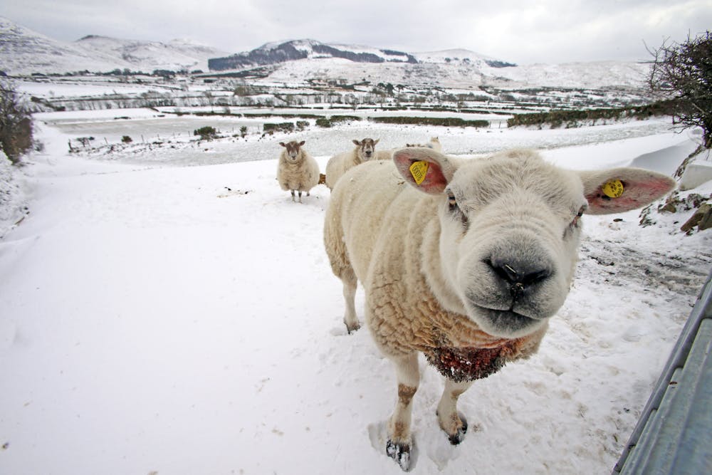
Where the jet stream crosses the Atlantic it usually points towards the British Isles, but sudden stratospheric warming can lead it to shift towards the equator. As air currents are temporarily rearranged, warmer Atlantic air is replaced by cold air from Siberia or the Arctic, and Europe and Northern Asia may experience unusually cold weather. This is what happened when the infamous “Beast from the East” passed through Europe in 2018, causing huge snowstorms and dozens of deaths.
It can take a number of weeks for the impact of stratospheric warming to reach the surface, or the process may only take a few days. These events are hard to predict in advance. Some can only be predicted a few days ahead while others may be forecast from around two weeks before.
A number of factors including a La Niña event in the tropical Pacific contributed to a strong vortex in early winter 2020/21. Strong vortices are hard to shift, meaning a sudden stratospheric warming event was not looking particularly likely. However, from just before Christmas, weather forecast model predictions began to converge on a likely stratospheric warming event in early January.
From stratosphere to surface
Around two thirds of stratospheric warming events have a detectable surface impact, up to 40 days after the onset of the event. This is usually marked by lower than normal temperatures across Northern Europe and Asia, extending into western Europe, but with warmer temperatures over the eastern Canadian Arctic.
It’s not yet clear why some stratospheric warming events take weeks to impact the surface while others are felt days later, but it may be related to how the polar vortex changes around the onset of a warming event. The vortex can split into two smaller “child vortices”, or it can be displaced from its more usual position centred near the pole, to being over northern Siberia.
Early indications suggested that 2021’s event was more likely to be split, but it subsequently showed more features of a displacement. It is not unusual for the vortex to show such mixed signals.
Colleagues and I recently developed a new method for tracking the impact of a warming event from its onset in the stratosphere to when its effect reaches the surface. We analysed 40 such events from the past 60 years, to try and figure out when we might expect extreme surface weather.
Most importantly, we found that warming events in which the stratospheric polar vortex splits in two generally lead to surface impacts appearing faster and stronger. So although there is an increased chance of snow and extreme cold in mid to late January 2021, other confounding factors may act to reduce this impact.
There are always competing forces at work in the atmosphere. Few people noticed the sudden stratospheric warming of January 2019 for example, which had little impact on the European winter. In that instance, there was a westerly influence on the North Atlantic winds, which originated in the tropics. This may have acted to oppose any stratospheric effect favouring easterly winds. In 2021, the battle is between the stratospheric warming and La Niña.
Sudden stratospheric warming events are a natural atmospheric fluctuation, not caused by climate change. So even with climate change, these events will still occur, which means that we need to be adaptable to an even more extreme range of temperatures.