
That the Malaysian government, with the help of the UK’s INMARSAT, was able to dramatically narrow down the search area for flight MH370, made it seem much more likely that the wreckage of the plane might be found.
Nevertheless, we’re not there yet and we need to be smart about the techniques we use in this latest stage of the operation.
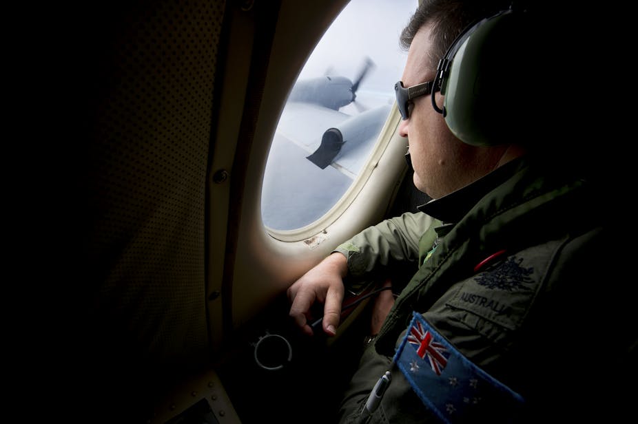
It is reassuring to see Chinese, Australian and US teams all working together with a common goal but it is quite apparent that they are struggling to solve what is actually a very tough problem.
It’s tough because of the physical distances involved: the search area is some 2,000km south-east of Perth in an area of the Indian Ocean that is being described as one of the most inaccessible places on Earth.
That means planes and ships can only spend a few hours searching at a time so we need to be clever about how we deploy them. That’s where a British man called Thomas Bayes comes in. He was born in London in 1701 and developed the maths that now underpins state-of-the-art technology in retail, insurance and, crucially in this case, search and rescue.
The key idea to come out of Bayes’ thinking is that you can calculate probabilities as a way of quantifying what you believe. In the case of MH370, it’s a bit like throwing dust particles wide across the search area. Each particle represents a candidate place where the plane might be. As your search planes and ships move around the area, they hoover up the particles, eliminating candidate places that still need to be looked at.
The process is complicated by sea currents and that the fact that the sensors being used are imperfect. As a result, the “hoovers” aren’t perfect at sucking the moving dust up and some of the dust is left behind. You have to coordinate your search and continually return to areas you’ve already searched because you might look back and think you must have missed something when you searched that spot the first time.
The technology that makes use of this thinking divides the area of interest into a grid and associates a probability that the object is in each of its cells.
Given the location of each search ship or plane, we identify some grid-cells which are visible from that ship or plane. We then use the probability that we would see the object being searched for, if it were there, to manipulate the probability that the object is in each of these visible grid cells.
Unfortunately, we typically don’t see the object, that’s why we’re looking for it. So, we actually use this negative information to reduce the probabilities. We repeat this process for updating the probability map as the ships and planes move so that the probability is gradually “hoovered” up.
To decide where to send the ships and planes, we consider lots of candidate trajectories for each ship and plane and then pick the combination that would hoover up the largest fraction of the remaining probability. We repeat the process of specifying the trajectories until we find the object we are looking for. We can do something similar when looking for multiple objects; it’s just the maths gets a bit more involved.
Proven track record
Metron, a US company that helped develop the the US Coast Guard’s Search and Rescue Optimal Planning System, used technology that builds on this idea to find Air France flight AF447 when it crashed into the Atlantic Ocean in 2009, the SS Central America, a ship that sank in a hurricane in 1857, with gold bars and coins worth an estimated US$400 million dollars, and the USS Scorpion, a nuclear submarine lost at sea in 1968.
Related technology was also used to analyse the historic reports from German survivors to find the HMAS Sydney II and HSK Kormoran, two ships that sank after a firefight in 1941 just off the Western coast of Australia – not so far from where planes are currently flying from to try to find MH370.
Nothing beats hindsight
Even when using this technology, you are perfectly justified in changing your mind if you get better information from satellite data but it also helps to defend search teams from criticism over making decisions that turn out to be wrong. During operations like this, decisions often have to be based on incomplete information. You therefore sometimes find that you’ve made the wrong decision because you didn’t have a key piece of information when making it.
As an example, if the interested nations had visited all the suspected weapons sites in Iraq and found that weapons of mass destruction weren’t being manufactured at the time, they might have made a different decision about whether or not to invade the country.
In this case and in the case of the search for MH370, all the information you need just isn’t available when you make a decision and what you decide to do is not the same as what you would decide in hindsight.
Difficult decisions are, by definition, difficult. We should be prepared to praise the people who make difficult decisions based on incomplete information, not just criticise them when it later turns out that their decision was retrospectively “wrong”.
Unfortunately, there’s always a fundamental question as to whether the thing you are looking for is actually there at all. It seems quite possible that any wreckage from the flight has now sunk to the bottom of the very deep ocean.
But until we know that for sure, the hunt continues and the technology exists to help those looking for MH370 to make best use of the information that exists as well as the ships and planes that are involved in the search. I believe that this technology will play a central role in a future news headline that the world is hoping to read soon: “MH370 has been found”.