


Right now if you want to know where you are, your smartphone map will tell you instantly. But these technologies only exist because of the efforts of 18th century geographers, explorers, astronomers and clock-makers.
If you were left without your smartphone, determining your latitude - how far north or south you are from the equator - would be a relatively easy matter: it can be done using the position of the sun. But finding your longitude - how far east or west you are - poses a much more difficult challenge.
Now, the Cambridge University Library has launched its digitised archive of the Board of Longitude, revealing the struggles and successes of those who tried to solve this problem.
Where’s home?
The 18th century was an era of international trade and aggressive global expansion, which meant there was a pressing need to accurately calculate your position at sea. This led to the formation of the Board of Longitude, which offered a £20,000 cash prize - equivalent to about £1.5m today - to anyone who could solve the “longitude problem”.
It is possible to work out how far east or west you are of a particular location - like Greenwich - by comparing your local time with the time at that point. It was keeping the time at a distant location that proved challenging.
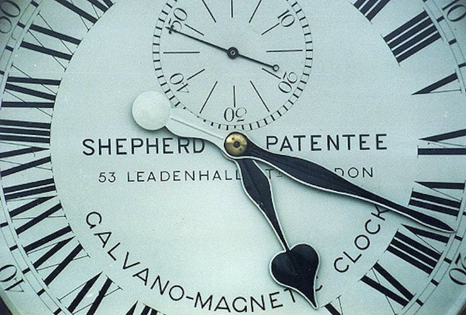
“The problem was tackled in two ways: the clock method and the astronomical method,” historian Simon Schaffer of the University of Cambridge explained. The clock method required a device to keep the time set at Greenwich, or an equivalent fixed location. But finding a timepiece that could withstand a range of temperatures, the rocky motion of a ship and exposure to storms and winds was quite tough in the age of pendulum clocks.
The astronomical method was no less plagued with problems. In principle, you could tell your longitude by observing the angle between the Moon and a particular star then consulting an almanac, which catalogued the time at Greenwich based on the position of a range of celestial objects. And then your longitude can be determined by comparing Greenwich time with your local time. But using a telescope on an unstable platform like a ship’s deck was no easier than using a pendulum clock.
Robert Mayhew of the University of Bristol tells of times when longitude went wrong. “A battle raged between Spain and Portugal in the 16th century over the Maluku Islands,” he said. A treaty between Spain and Portugal used a line of longitude in the Atlantic to divide the colonies between them. But it was unclear where the line fell on the other side of the world, so Spain and Portugal both claimed that the Maluku Islands were on “their side”. “Once you can plot longitude reliably, these sorts of disputes become capable of resolution,” Mayhew said.
There were many instances where explorers “discovered” the same island multiple times, particularly in the Pacific region, where 18th century navigators were obsessed with plotting the islands reliably.
“Optical illusions like heat haze led to land being claimed where none existed. One example of this could be Pepys Island, named after the famous English diarist. As far as we can tell, there’s no land anywhere near its reported location, so it probably doesn’t exist.”

Schaffer described how a Yorkshire carpenter named John Harrison became an unlikely hero of the quest to measure longitude. Submitting his initial design for a sea clock in 1730, Harrison lobbied the board with improvements for the next 40 years. His H4 model - now displayed at the National Maritime Museum - accurately told longitude while withstanding a variety of temperatures and pressures. Unfortunately, the clock was incredibly difficult to make. It requiredexpensive diamond palettes and took Harrison more than six years to build.
The board needed a design that could be rapidly produced en masse. Watchmaker Larcum Kendall simplified the H4, creating a design that could be manufactured by many clockmakers. Industrialisation meant that parts and tools could be produced according to standardised measurements. “Every clock relied on 40 or 50 people to build the components - there was an extremely sophisticated division of labour,” Schaffer explained.
The astronomical method also experienced breakthroughs with the advent of the sextant in 1740. This hand-held device could measure the angles between the Moon and stars very precisely. This was complemented with more reliable almanacs. “At the same time, Nevil Maskelyne - the fifth Astronomer Royal - made a comprehensive almanac of where the moon would be every night of the year, using some of the world’s first ‘computers’. These were men and women who would do the sums, check the sums and then check them again, since even the smallest error could have spelt disaster,” Schaffer said.
According to Schaffer, these 18th century innovations will retain their relevance for years to come. “The basic astronomical methods for regaining time are still essential - they were used in the launch of satellites that provide us with our GPS signals.”
The archives are also a repository of even more valuable information. “Another avenue we look forward to exploring is the meteorological data collected by the 50 or so vessels under orders from the Board of Longitude,” Schaffer said, which will add to the dataset from the East India Company.
Jisc funded Cambridge University Library’s Board of Longitude digitised archive project. Simon Schaffer’s work was assisted by the AHRC.