

Viewed from the Voyager 1 space probe as it passed beyond the edge of the solar system, Earth and Venus might not look too different – same diameter, similar mass and distance from the Sun.
But from a human perspective, Venus is a hostile spot. Its much denser atmosphere enables a greenhouse effect on steroids, with surface temperatures approaching 500°C.

While the timeline that brought Venus’ climate to where it is today is still being researched, the critical difference between the two planetary systems is the ocean. Venus possibly never had one, but oceans on Earth have shielded us from the worst climate impacts by storing around 90% of the heat captured by the changing atmosphere.
We have managed to land a camera on the surface of Venus, with the Soviet space probe Venera 9 in 1975. Like the “Earth rise” image captured during the Apollo 8 mission in 1968, this again proved the power of visual imagery. Yet we’re still learning about our own oceans.
The first images of the surface of Venus arrived a year before we discovered mid-ocean hydrothermal vents and three years before we first looked beneath an Antarctic ice shelf.
Read more: Climate scientists explore hidden ocean beneath Antarctica's largest ice shelf
If we want to better understand the climate-regulating role of Earth’s oceans, we must increase the effort we put into observing them, with a focus on our planet’s largest heat sink, the Southern Ocean.
Direct observations
Thanks to a variety of Earth-orbiting satellites and resource-intensive computer simulations, we have made progress in observing Earth’s oceans.
But as powerful and all-encompassing as these observations are, we still make surprise discoveries, such as vent systems on the seafloor and life in under-ice cavities. This is why we need to continue exploring and ramp up our capacity to measure the oceans directly.
Nowhere is this more true than in the Southern Ocean, the connector of all oceans.
Read more: An ocean like no other: the Southern Ocean's ecological richness and significance for global climate
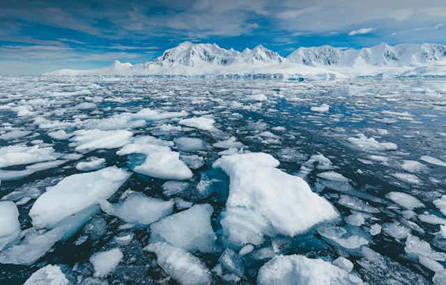
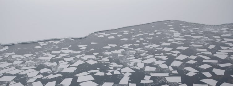
Several unique features distinguish the Southern Ocean from Earths’ other oceans. One is Antarctica’s sea ice – the continent’s skirt of frozen ocean that comes and goes with the seasons.
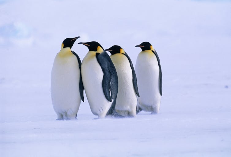
The dramatic decline in Antarctic sea ice is of concern to the climate science community because of its several major roles: as a mirror that reflects solar energy back into space, a pump that ventilates the deep ocean, and an essential habitat for polar life, from algae to Emperor penguins.
The Southern Ocean’s other unique feature is the Antarctic Circumpolar Current – a massive flywheel of energy driven by winds, spinning non-stop from west to east. The flow rate in this giant ocean current dwarfs even the largest river, the Amazon, by three orders of magnitude.
Read more: Explainer: how the Antarctic Circumpolar Current helps keep Antarctica frozen
Fostering collaboration
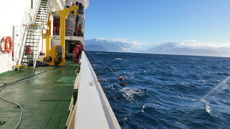
The rapid changes in the Southern Ocean and Antarctica make it clear we need to increase our capacity to observe and measure this environment. But it is a very expensive place to work.
While it is not quite Venus in terms of difficulty, measurements have to target and prioritise the major science questions.
Earlier this year, more than 300 researchers gathered for the first Southern Ocean Observing Symposium in Hobart to express their growing concern. They came together to assess the state of the ocean and to develop new ways to collaborate, share information and to connect efforts from national research programmes as much as possible.
A recent analysis looked at how we might measure connections between the Ross Sea and far-East Antarctica. These are critical because major ice-free ocean areas, known as polynyas, and the massive ice shelf in the Ross Sea region, influence waters flowing westward into East Antarctica.
The risks of the unknown
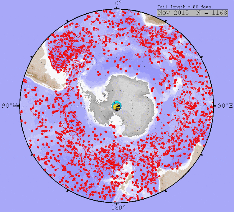
We are entering a new era of observing the Southern Ocean. The urgency of the climate emergency has prompted a range of new technologies to be deployed to monitor and understand the changing conditions, including a fleet of autonomous Argo floats that monitor temperature and salinity at depth.
It isn’t cheap to track changes in such a remote location. Sending ships and deploying robust instrumentation, and then retrieving the gear and data, all adds up. But it is almost certainly far less expensive than responding to the impacts of climate change.
The lack of direct observations is one reason we continue to be surprised by changes in the region. As a community, we have been caught out by the sudden decline in sea ice around Antarctica. But the lack of a consistent method to measure sea ice thickness over large areas has been a known major gap in our knowledge for decades.
The Venus analogy may be a stretch, but there is little doubt the observations in the Southern Ocean and around Antarctica are a harbinger of changes to a climate system that, to date, has enabled our species and cultures to flourish.