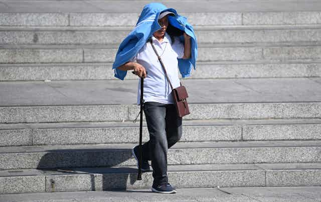

The UK has recorded its hottest ever temperature, passing 40°C for the first time. But you can’t deny it had fair warning. The Met Office issued an amber weather warning six days before the heatwave and upgraded it to red three days later, enough time to trade cooling-down tips with friends and stock up on ice lollies.
It’s easy to take modern weather prediction technology and warning systems for granted, but the new advancements save lives. The most well known weather forecast failure in UK history happened 35 years ago. Hours after veteran weather presenter Michael Fish said there was no hurricane coming “but it will be very windy in Spain”, the a devastating storm raged across the country and claimed 18 lives.
A huge amount has changed since 1987. Weather forecasts are more precise, reliable, and better communicated. Re-analysis shows that in 2022 the 1987 storm would be noticed a few days ahead, but there would have likely been uncertainty. An amber warning would probably have been sent out and the storm would have been named, alerting the public. So how exactly has forecasting improved?
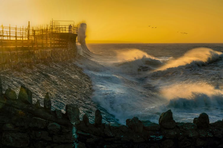
The real change is in people’s experience of extreme weather. For example, Storm Eunice in February 2022, which broke the English wind gust record at 122 miles per hour. The storm was forecast days ahead, with a rare red warning issued the night before.
The high pressures that drive heatwaves are a little easier to predict with older models, as the physics limits the changes possible over distance. So I expect an extreme heat event would have been predicted a few days ahead even in 1987 (although the recent high temperatures wouldn’t have been hit back then as they are worsened by climate change).
However, today there would be more confidence in the predictions and, crucially, there are better mechanisms for warning the public. Without such warnings, it’s likely far more people would die.
What has changed
Most of us walk around with a computer in our pockets several times more powerful than the one used to forecast weather in 1987. It was among the fastest in the world at the time, capable of 4 million calculations per second. The current Met Office supercomputer does 14,000 trillion per second.
Since the 1920s, weather forecasting has been done by numerical models that calculate physics on a grid. In the 1950s, this process moved to computers, which made timely forecasting more feasible, as humans cannot process the calculations quickly enough to do it on their own. The forecast is made using a grid of locations, calculating the weather conditions at a point then stepping forward in time.
As computers improve, they can make meteorological calculations faster. The grid and time-steps can be smaller. The modern numerical model uses a grid smaller than a kilometre between points over the UK (and 10km across the globe). In 1987 weather forecasters used a global grid of points 150km apart.
The science the models rely on is better understood today. For example, we understand how sting jets, small areas of intense winds, develop.
Looking to the skies
Satellites transformed meteorology. They were incorporated into computer models from the 90s. One of the key problems in 1987 was a lack of weather monitoring at sea, but satellites and buoys filled the gap. A network of buoys around the UK were set up as a direct result of the 1987 storm.
Techniques to make best use of observations are rapidly developing. But the main change is the sheer quantity of observations available. We have less ground stations but more overall observation points from satellites, radars, instruments mounted to commercial aircraft and other systems. Satellite readings provide hundreds of billions of observations each day.
Satellite data brought southern hemisphere forecasts (where less land means less surface observations) up to a similar accuracy to those the northern hemisphere. Previously, southern hemisphere forecasts often had a day’s less lead time.

The UK is also living in the golden age of radar. In 2018 a radar network upgrade was completed which enabled weather forecasters to start using new radar technology that can tell us more information about the shape and size of raindrops and snowflakes, not just their location.
Talking about it
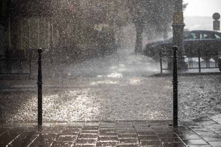
Instead of a regional TV forecast, in 2022 we tend to rely on apps forecasting for our neighbourhood. Street-level forecasts are tricky to get right. In changeable weather conditions, such as summer showers, forecasters know to expect showers, but not their precise location. Like heating water on the hob, you can predict the timing of boiling, but you can’t predict the locations of each bubble.
The UK is notorious for unpredictable weather. Sunny days can turn into downpours within minutes. Winter weather in the UK is dominated by large bands of cloud, wind and rain, which makes predictions more reliable. However, when meteorologists know an area should expect showers, but not the precise location and timing, an excellent forecast can appear poor to a casual user.
Weather forecasters believe the UK public do not understand scientific uncertainty so don’t communicate how sure they are about predictions. But in the US, weather forecasts have given confidence in a chance of rain for decades).
Looking ahead
Weather forecasting will always remain uncertain, thanks to the butterfly effect, which means small changes in conditions can lead to big changes later.
But the process is improving. Big things to come include more joined up thinking. For instance, scientists are thinking about connecting weather and flooding models.
Computer models will get more realistic. Satellites (and other observation systems) are improving. I’m working on a satellite we hope to fly in 10 years that will measure wind speed in clouds across the globe.
As climate change is driving more extreme weather worldwide, weather forecasts have never been more important. With more flooding, wildfires, storms and record breaking temperatures, it can be a matter of life and death.