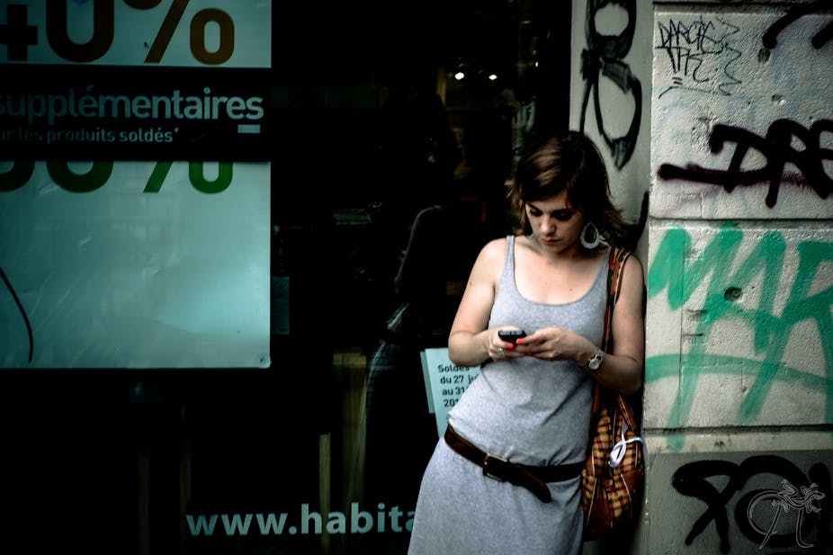
What does your world look like? What are the contours of your neighbourhood? How are you feeling today? Mobile phones are increasingly providing us with the answers to these questions.
In our daily activities, most of us move through only small areas of the cities or towns we call home. These areas — which geographers call “activity spaces” — may vary substantially and overlap little, even for people living in the same community. They are important because where we spend time determines our access to resources like medical care and fresh food, and our exposure to hazards like toxic chemicals, contagious diseases and violence. They affect our physical and emotional well-being. But we do not know a lot about activity spaces because, until recently, we did not have a good way to gather data on human movement. This is now changing as a result of the widespread use of mobile phones.
As researchers who study human mobility, we have been following the rise of mobile phones with great interest — from the obscure, clunky business tools of the 1980s to the tiny, sleek platforms of ubiquitous computing that we know today. The extent to which people have incorporated mobile phones into their daily lives opens up a powerful new window onto society. We have been exploring ways in which this window can be best exploited to answer important questions about who we are and how we live.
In a study recently published in Demography, we found that mobile phone location data offers a much more nuanced picture of human activity spaces and environmental exposure than can be obtained from traditional methods.
We used mobile phones to survey people as they moved about their neighbourhoods. When a participant entered a predefined location, a survey question would automatically pop up on their phone, asking them to rate their happiness. We then linked each answer to the participant’s contemporaneous environmental context. We found that our male respondents tended to be less happy the further they were from home whereas we did not detect this trend among the women.
We are currently tailoring these mobile phone methods to learn more about the spatial nature of social inequality. To do this, we have developed an open source mobile phone application called Space Mapper, which lets participants share their movement data with us.
At the heart of our research is the premise that human well-being depends on environmental context. Because resources and hazards are distributed unevenly across space, where we live and spend time matters. But where we live and spend time is dictated by a range of factors often outside our control and often heavily shaped by government policy. These factors include race, ethnicity, gender, economic class or disability and they jeopardise basic principles of justice by ensuring that some groups fare worse than others. Our goal is to try to better understand this problem in order to find solutions.
Space Mapper is designed to minimise battery consumption and protect participants’ privacy. To date, Space Mapper has been downloaded by more than 2,500 people in 127 countries, and we have collected more than 740,000 location estimates.
The next step will be to compare cities based on the levels of “activity-space segregation” measured using Space Mapper and other data sources, and to explore the causes of this segregation. We are currently focused on Los Angeles, New York, and Barcelona but seeking new volunteers all the time to share their daily movements with us.

