A new high-resolution global map reveals 21st century changes in forest cover, showing where in the world we are losing and regrowing forests.
A team of 15 university, Google and government researchers found that between 2000 and 2012, 2.3 million square kilometres of forest (an area slightly smaller than the entire country of Argentina) were lost, while 0.8 million square kilometres were reforested in that time.
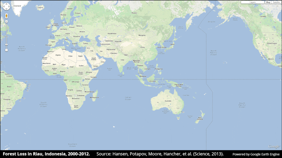
Published online in the journal Science overnight, the new map was created with more than 650,000 satellite images of the Earth’s surface, down to a 30 metre resolution scale.
While Brazil reduced deforestation over the past decade, that improvement was easily outstripped by faster forest loss across the tropics, including in Indonesia, Malaysia, Paraguay, Bolivia, Zambia and Angola.
The trends revealed by the map could guide future efforts to conserve forest cover, the researchers suggest.
Read more at University of Maryland