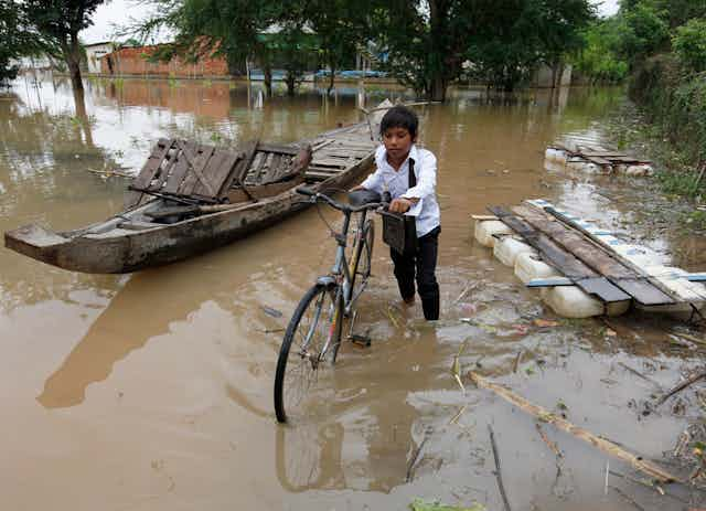
Reports from the Philippines reveal a lack of typhoon preparation and evacuation efforts.
When to evacuate – and how – spells the difference between life and death. As we know, typhoons can cause widespread flooding of surrounding areas, and don’t just affect what lies in the path of the storm. Planning an evacuation is a game against nature.
Typhoon Haiyan (and similar events around the world) indicate that people do not play this game well … but computers do.
In collaboration with the Los Alamos National Laboratories and the US Department of Homeland Security, our team of researchers at NICTA has developed algorithms to mitigate the impact of natural disasters. They were, for instance, activated to help in power restoration during recent massive Hurricanes Irene and Sandy.
So can we learn from international disasters, and can we apply that information to the Australian context? The answer is a resounding yes to both.
Our team focuses on planning large-scale evacuations for Australian cities. Its goals are twofold:
- to inform policy on what constitutes a good evacuation plan
- to demonstrate that computers are game-changers.

Planning an evacuation is an extremely challenging task, with calculating the best procedure akin to finding a needle in a haystack. There is an astronomic number of possible evacuation plans to consider, even for a small city.
Although few plans are safe, the number and complexity of decisions quickly becomes overwhelming – especially as rising water or traffic accidents block roads – but computers can dramatically help emergency services design evacuation plans which people can actually follow.
To be efficient, computer tools must understand congestion and human behaviour. They also need to take into account new information that will become available in real time via river gauges, traffic monitoring or social media.
Ultimately, they can be used to replan part of the evacuation in real time. Let’s look at an example.
An evacuation scenario
The evacuation tools developed at NICTA not only push the frontier of emergency decision support systems – they also show that optimisation algorithms have the potential to save lives during disasters.
Consider, for instance, the case of the Hawkesbury Nepean region in NSW. Experts estimate that a flood of the magnitude of the historic event of 1867 will cost A$2.5billion and affect thousands of residents.

Such an event would see the water reach 19.2m at the Windsor bridge, compared to the normal level of 1.5m.
As a result, 200km2 of surrounding land would be inundated with fast-moving water, threatening the lives of about 70,000 residents. An increasing population, combined with the silent threat of the Warragamba Dam spilling or failing, make this region one of the worst flood risks in Australia.
To evaluate the impact of major flooding on regional areas, we developed a tool to simulate the evolution of the flood, minute by minute. The algorithm forecasts a 24-hour flood in a few minutes and specifies which areas need to be evacuated and at what time, and when roads will be flooded.
The optimisation algorithm then uses all this information to produce an evacuation plan indicating when each person needs to evacuate, where he or she should go, and route to follow.
Contrary to human decision makers, the optimisation algorithm considers simultaneously all 70,000 evacuees, how they interact and compete for road capacities, and how the flood affects the transportation network. The whole plan is produced in a matter of seconds and rescheduling can be performed in real time as the event unfolds.

